About HiAbove
Inspection should make the next decision clearer.
We collect and organise the visual and spatial evidence that helps insurers, owners, safety teams and asset managers understand real-world assets.
Our approach
Technical rigour. Practical answers.
HiAbove was built around a simple belief: advanced data is only useful when it leads to confident action.
Every project begins with the decision you need to make. We work backward from there—designing the collection plan, capturing aerial, exterior or interior evidence, processing the dataset and presenting it in a format your team can continue using.
- Safety-led operations and site-specific risk controls
- High-resolution RGB, spatial and radiometric thermal capture
- Interior and exterior asset-condition records
- Repeatable datasets for change tracking
- Secure electronic reports and structured asset files
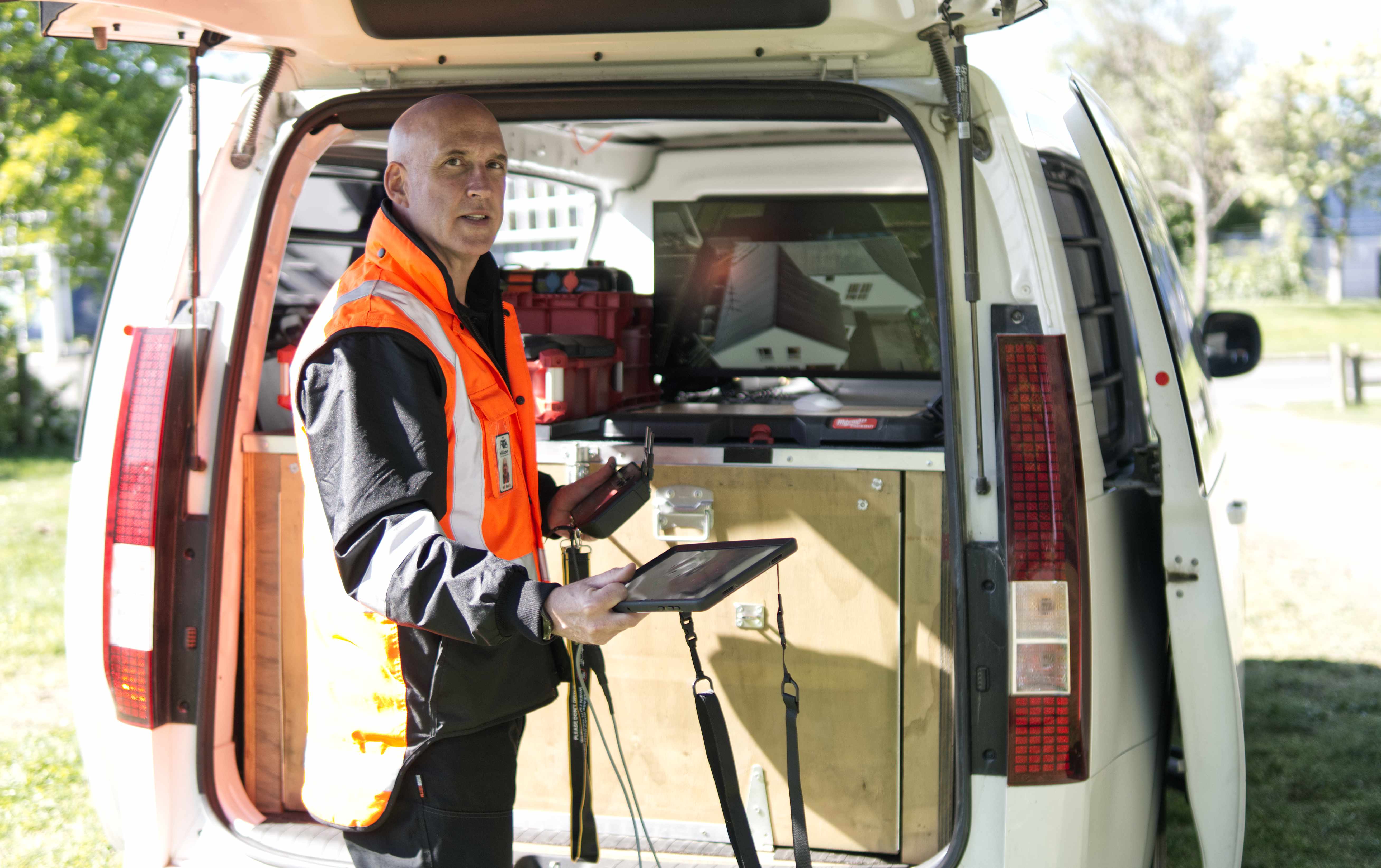
Connected capability
A specialist collection partner for Stratify.
HiAbove is a sister company to Stratify, an asset-management business centred around geospatial data.
HiAbove captures current aerial, ground-level, interior, RGB and thermal evidence. Stratify can connect that evidence with wider asset information—including ground-penetrating radar data—to support more complete asset planning and management.